On January 10, 2025 the San Luis Obispo Beaver Brigade joined CalPoly students of the College of Architecture, taught by Kelle Rene Brooks, to tour the Salinas Dam in Santa Margarita. Chris Summers, San Luis Obispo County Public Works, led the tour of the dam.
The Salinas Dam, San Luis Obispo County’s biggest concrete dam, was built in 1941, in a mere 6 months, by the War Department to supply water to Camp San Luis Obispo. Camp San Luis Obispo didn’t end up needing the water and soon after completion it became a water supply for the City of San Luis Obispo. Water from the reservoir is pumped through the Cuesta Tunnel (a one mile long tunnel through the mountains of the Cuesta Ridge) and then flows by gravity to the City’s Water Treatment Plant on Stenner Creek Road. The current theoretical capacity of the Salinas Dam is 26,000 acre feet. The City of San Luis Obispo has water rights to store up to 45,000 acre feet.
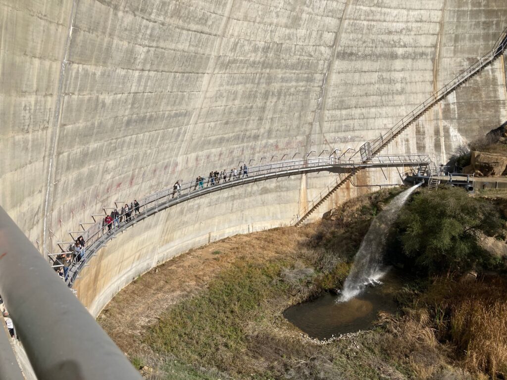
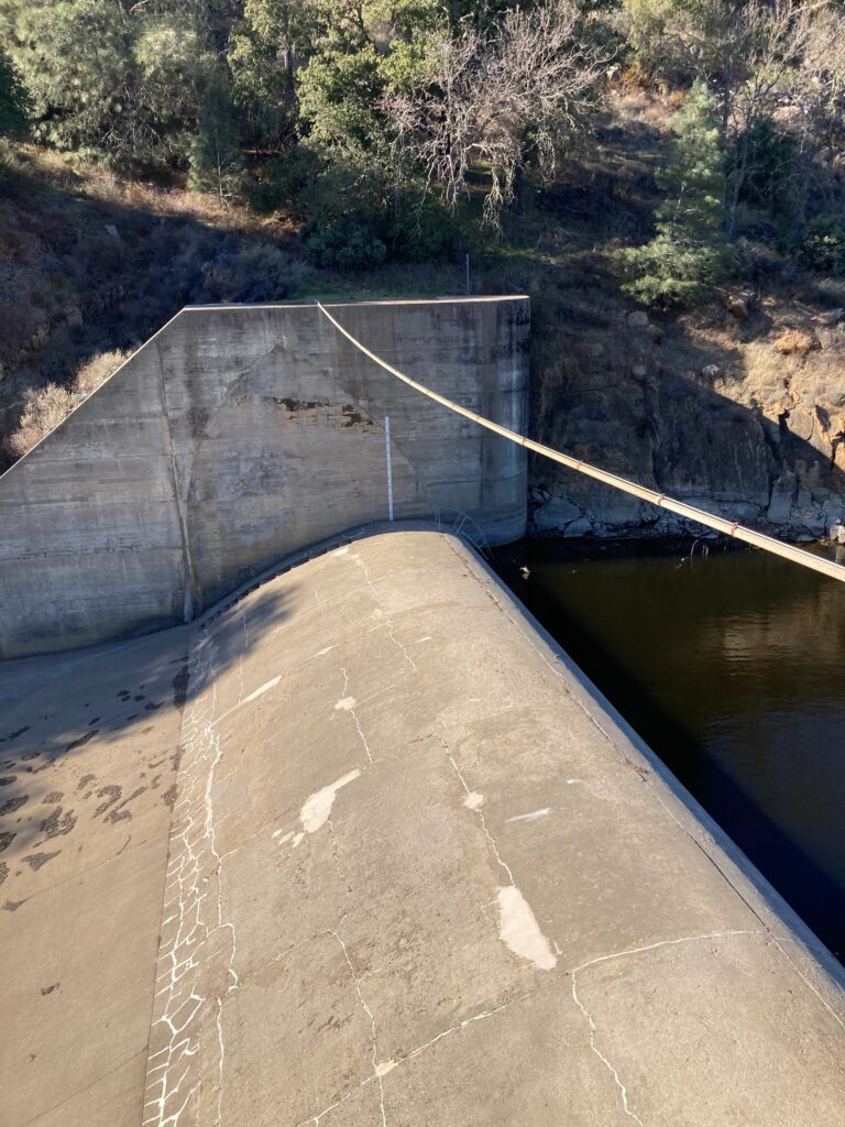
Of course, looking at this magnificent feat of construction ( it took only 6-months from ideation to completion to create a dam 135 feet high of rebar-free concrete, with the ability to add a steel spillway gate to almost double capacity of the dam! – definitely magnificent!) from the eyes of the beaver and it’s a little less impressive. The water “spilling” out of the dam is a powerful jet of water spewing out of a small pipe at least 20 feet above the river bed. It’s hard to imagine anything living passing from the reservoir to the river bed below the dam, or vice versa.
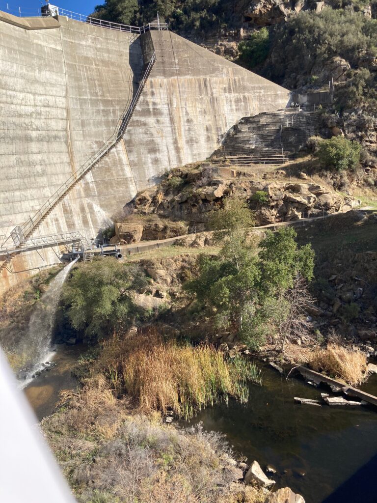
Chris Summers led an impressive tour along the narrow walkway about midway up the side of the dam wall. We entered into the dam, walked up a spiral staircase until we arrived at the top of the dam. From there, the view of the valley downstream was stunning.
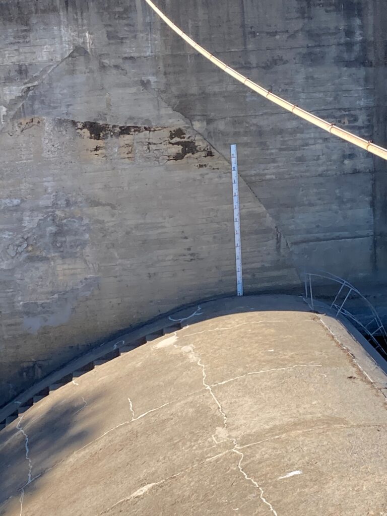
We could look out over the spillway, where C. Summers shared stories of water spilling over the dam. On January 9, 2023, he shared, the height of the water spilling over the dam was 11 1/2 feet! All of a sudden that height gauge at the side of the spillway became real.
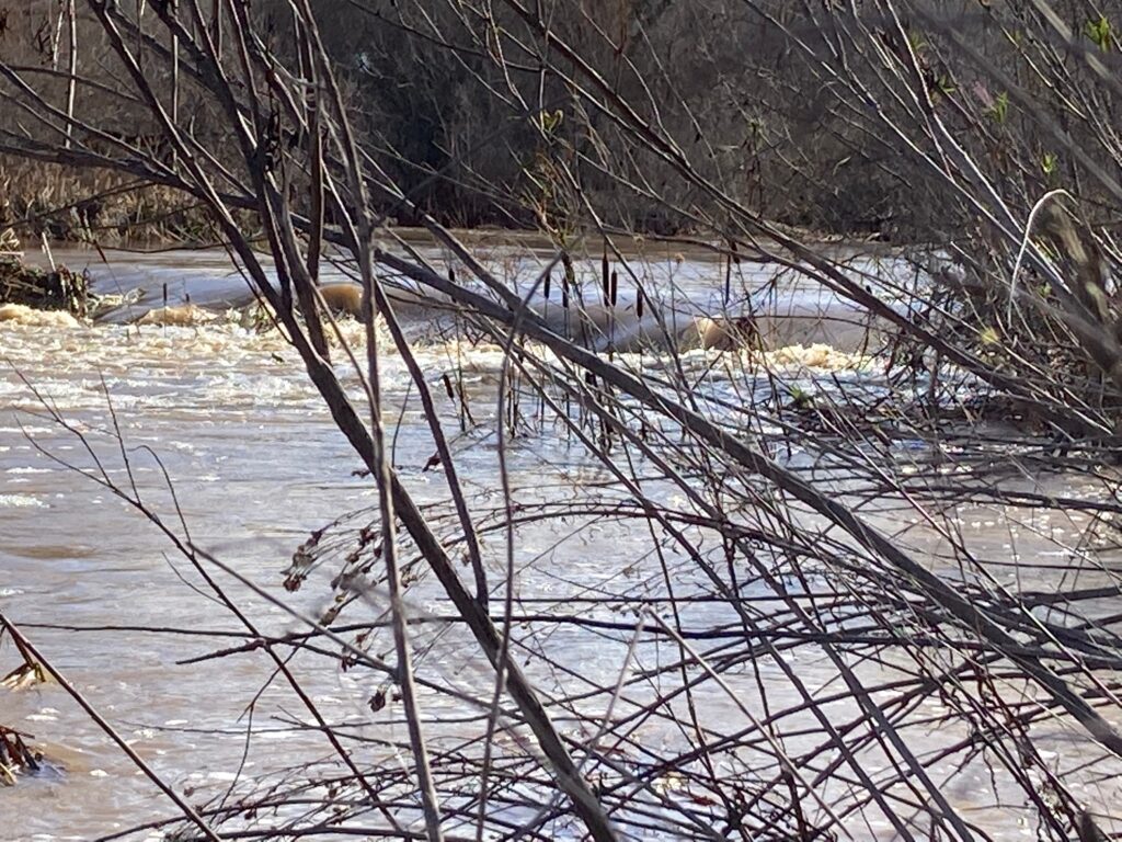
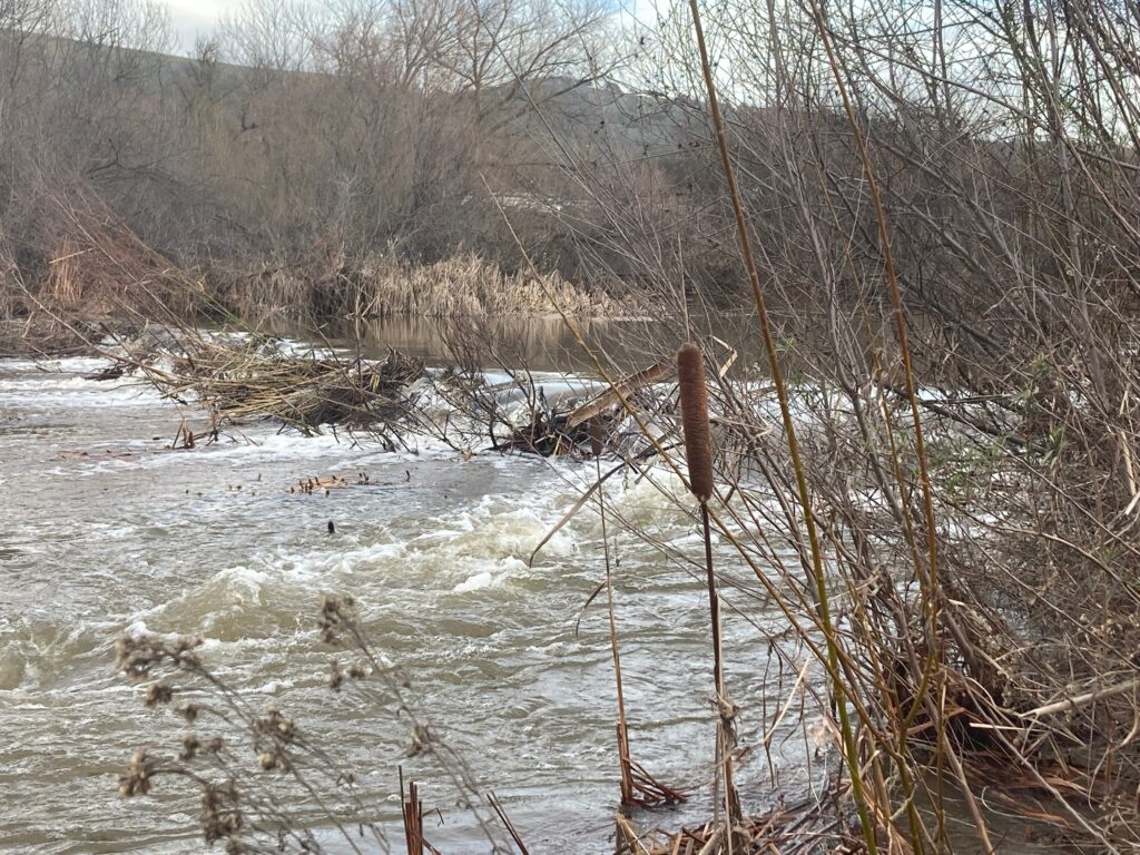
He said the sound of the water moving on January 9th became so eery. It had been raging for awhile, roaring down the canyon, and then, he said, it almost quieted down. What a wonder this dam could hold up under that much water!
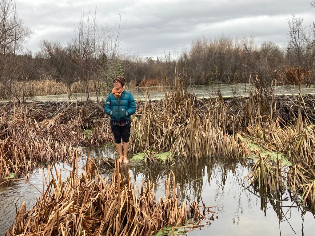
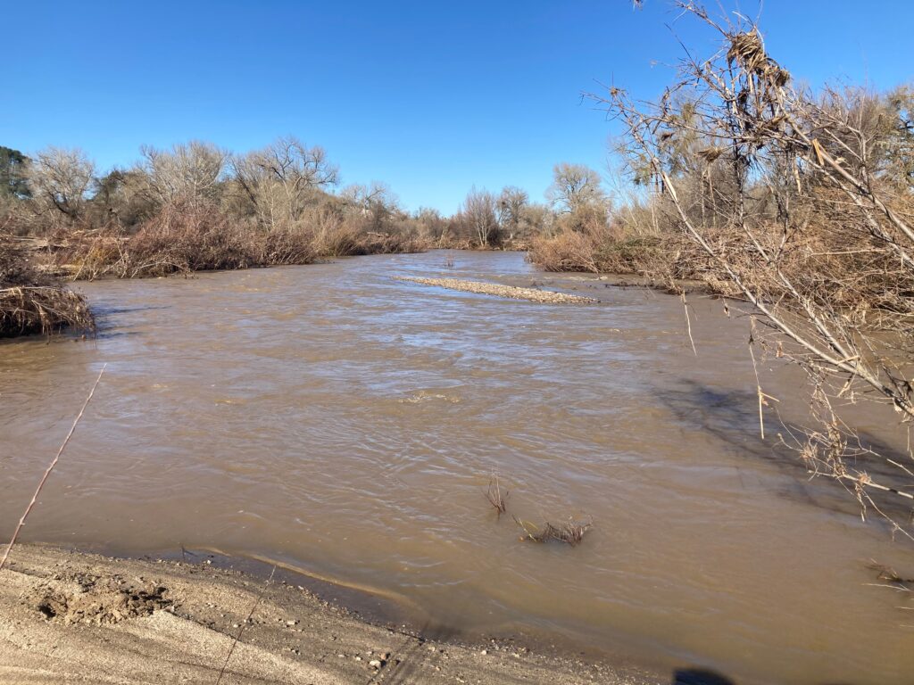
The beavers weren’t so lucky.
We had checked on the beaver dams on Dec 29th 2022 and they looked great, January 1st, they were still holding up, January 7th, they were still holding up. But then January 9th, 2023 came and it was 10 days before we could even get close enough to the river to see the beaver dams. So we remembered very well January 9th when Chris Summers brought it up at the Salinas Dam tour.
It was interesting seeing the impressive dam through the eyes of the architecture students – some sketching the massive structure and landscape around it, others testing running up or down the spillway. Their assignment for their CalPoly class is to create a Salinas River Center that honors the landscape around it. There is an article about the last time this class was offered in the CalPoly Mustang News archives. It sheds some light on what the students are being asked to grapple with.
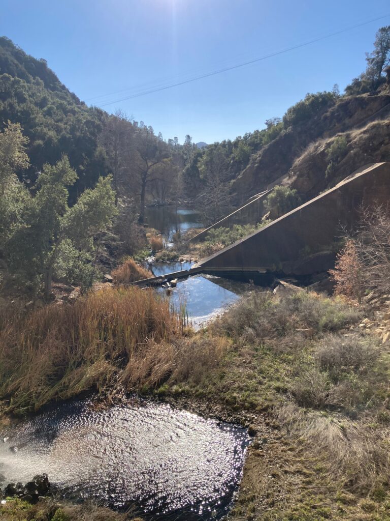
It’s almost simpler from the beavers perspective. At one point in time, all of this water was remaining in the Salinas River Watershed, rather than being exported out to an entirely different watershed. And then, almost overnight, the water was reduced and the passage way to the Upper Salinas was cut off. If only the SLO Beaver Brigade was around back in the 1940’s to have seen how the beavers, if there were any, reacted to this change in water flow.